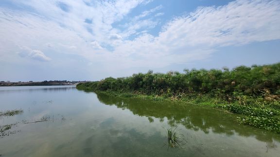
The project addresses the urgent need to monitor and protect wetlands, which are vital ecosystems providing numerous services, such as flood regulation, water quality maintenance, and biodiversity conservation. Despite their importance, wetlands in LTBR face increasing pressures like biological invasions, sedimentation, agricultural intensification, and misconceptions of wetlands as wastelands.
Using advanced geospatial technologies, such as satellite imagery from Landsat, alongside community-based approaches, ComWet focuses on mapping and assessing changes in wetland ecosystems since LTBR's UNESCO designation in 2015. The project emphasizes engaging local communities and stakeholders through pragmatic, participatory methods to identify sustainable solutions. Additionally, it aims to develop workflows for wetland monitoring that can be adapted and applied in other conservation contexts.
The research will combine Earth Observation data with field-verified analyses and stakeholder knowledge, integrating focus group discussions, community mapping, and institutional policy assessments. By adopting the Driver-Pressure-State-Impact-Response (DPSIR) framework, the project will identify the causes of wetland degradation and explore strategies for sustainable management.
Through this collaboration, CUAS and BDU aim to establish long-term cooperation for innovative wetland monitoring, capacity building, and the development of tools that contribute to achieving the Sustainable Development Goals (SDGs)—particularly goals 13 (climate action), 14 (life below water), and 15 (life on land).
Project duration: Dezember 2024 – November 2026
Funded by: Africa-UniNet funding provided by the BMBWF

